EXPEDITION DESTINATIONS
From the high alpine tundra of Deosai to the jagged granite cathedral cones of Passu, these are the regions our expeditions navigate.
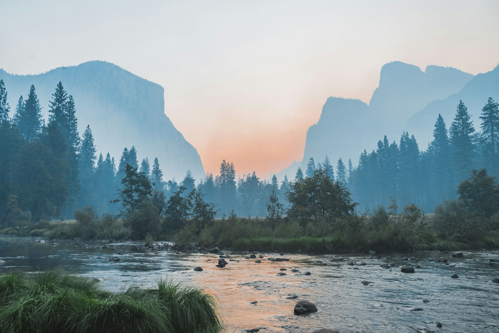
Hunza Valley
The Shangri-La of the Karakoram beneath Rakaposhi and Ultar Sar
Hunza is the legendary mountain valley nestled in the extreme northern part of Pakistan. Flanked by majestic peaks including Rakaposhi (7,788m), Ladyfinger Peak, and Ultar Sar, Hunza is renowned for its hospitable Wakhi and Burusho communities, centuries-old forts (Baltit and Altit), terraced apricot orchards, and pure alpine air.

Deosai National Park
The Land of Giants — second highest alpine plateau on Earth
At an average altitude of 4,114 meters (13,497 feet), Deosai is a boundless, treeless plateau of rolling green hills, wild Himalayan brown bears, golden marmots, and pristine glacial streams. Traversed only in high summer when winter snow melts.
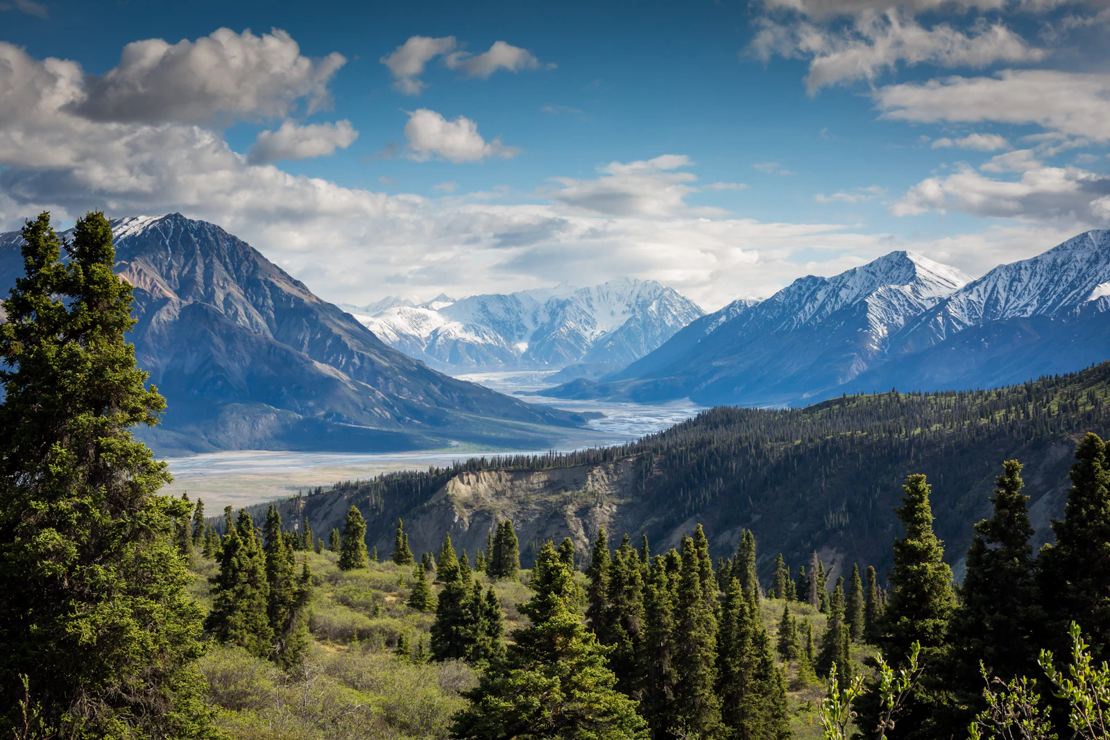
Passu & Upper Gojal
The serrated granite Cathedral of the Karakoram
Passu is home to the most iconic skyline on the Karakoram Highway: the razor-sharp Passu Cones (Tupopdan, 6,106m) rising like gothic spires above the braided riverbed. It is also the gateway to Passu Glacier and the thrilling Hussaini suspension bridge.
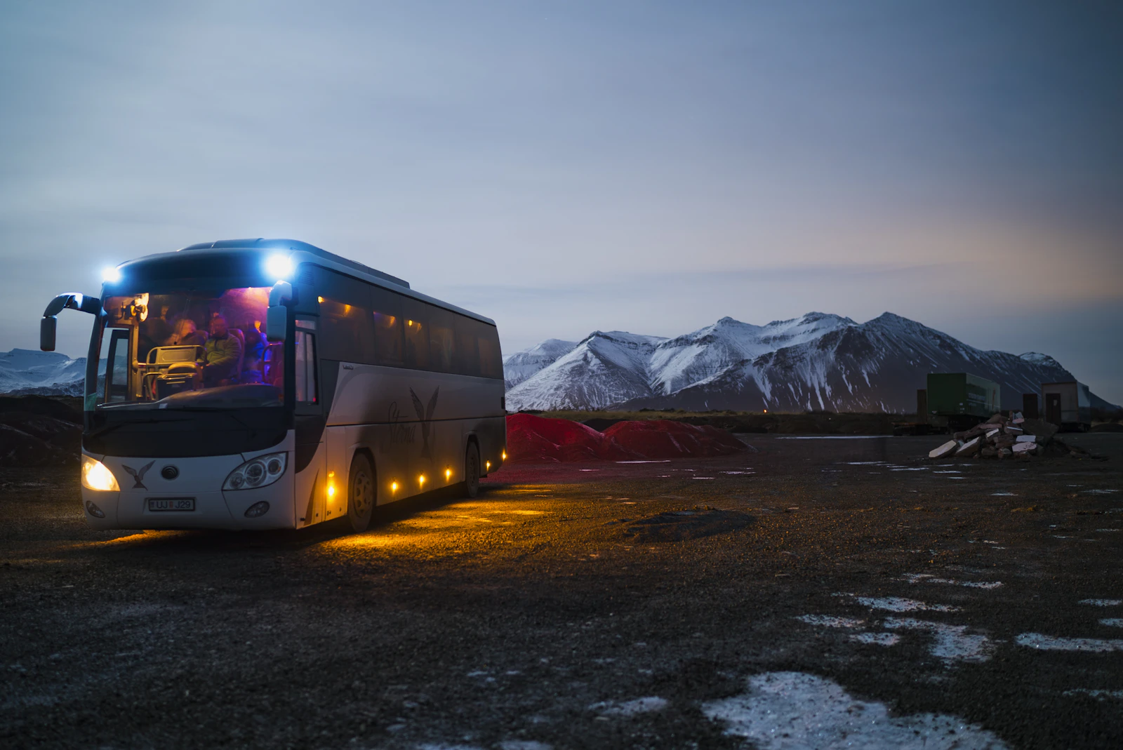
Khunjerab Pass (4,693m)
The highest paved international border crossing in the world
Standing at 4,693 meters (15,397 ft), Khunjerab Pass is the crowning achievement of the Karakoram Highway. The border gate with Xinjiang, China, sits amidst snow fields and alpine grasslands inhabited by wild Marco Polo sheep, ibex, and yaks.
Skardu & Baltistan
The mountaineering capital of Pakistan & gateway to K2
Skardu is the basecamp for all expeditions to the world’s highest peaks, including K2, Broad Peak, and Gasherbrum. Surrounded by cold high-altitude sand dunes, turquoise alpine lakes (Lower and Upper Kachura), and ancient Tibetan-influenced stone forts.
Shimshal Valley
The remote valley of mountaineers carved into vertical rock canyons
Shimshal is one of the most remote inhabited valleys in the Karakoram. Its access road is a marvel of local engineering: a single-lane dirt shelf cut directly into sheer rock walls along a raging river gorge, leading to an expansive high valley known for producing Pakistan’s greatest high-altitude mountaineers.

Chitral & the Kalash Valleys
Ancient animist culture in the shadow of Tirich Mir (7,708m)
Chitral is a secluded alpine region tucked behind the Hindukush range. Here lie the three sacred Kalash valleys — Bumburet, Rumbur, and Birir — where an ancient indigenous culture continues to practice polytheistic traditions, vibrant festivals, and unique craftsmanship.
Shandur Pass (3,734m)
The Roof of the World and highest polo field on the planet
Shandur Pass sits at 3,734 meters atop an immense grassy plateau between Chitral and Gilgit. It is world-famous for the annual Shandur Polo Festival where traditional freestyle mountain polo is played without modern rules, surrounded by snow peaks and pristine lakes.
Phander Valley & Ghizer
The valley of emerald lakes, trout streams and willow groves
Often called the most peaceful valley in Northern Pakistan, Phander is a painter’s palette of translucent emerald-green river meanders, quiet wooden farming villages, and deep blue trout lakes. A serene riding pause on the cross-country route between Gilgit and Chitral.
The Karakoram Highway (KKH / N-35)
The Eighth Wonder of the World and greatest high-road on Earth
Constructed over twenty years through the most rugged terrain on the planet, the Karakoram Highway connects Pakistan with China across the Karakoram range. It follows ancient branches of the Silk Road through deep river canyons, towering granite gorges, and high glaciated passes.